Upstate WildEye operates within all FAA Part 107 regulations and New York State DEC laws.
About Us
Founder Michael Iannelli created Upstate WildEye to bring advanced aerial technology to the outdoor community of Upstate New York. He has been flying drones for over eight years, developing a deep understanding of both traditional aerial photography and modern thermal imaging.
Michael holds a FAA Part 107 Remote Pilot Certificate and earned a degree in Remotely Piloted Aircraft Systems from Mohawk Valley Community College, where he trained on industry-leading flight operations, safety procedures, and unmanned aircraft systems.
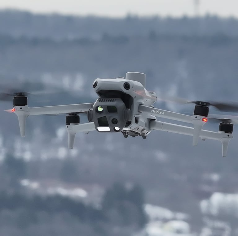
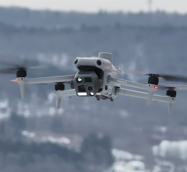
Today, Upstate WildEye uses professional-grade equipment — including the DJI Matrice 4T — to deliver reliable herd assessments, livestock monitoring, property mapping, and ethical post-harvest recovery services. Based out of Oneonta NY, our mission is to provide landowners, farmers, and sportsman with accurate, responsible, and data-driven insights while respecting wildlife and the environment. We believe that this technology can be used for good and has many beneficial environmental impacts compared to traditional old school methods. Feel free to reach out with any questions!


FAQs
What are the chances my pet is found?
We have a good success rate finding missing pets, although weather conditions, environment and the animal size do play a significant factor. Although it's not guaranteed we find your pet, it's the best that technology has to offer and we do our best to help bring your family member home safely.
How accurate are your deer counts?
Our thermal drones provide precise herd assessments, if there's a deer on your property, we will see it even in dense cover or low light.
What equipment do you use?
We fly the DJI Matrice 4T, equipped with advanced thermal imaging sensors for detailed land and wildlife data.
Are you FAA certified?
Yes, we hold FAA Part 107 certification to operate drones safely and legally in the United States. We are fully insured as well.
Can you do searches at night?
Yes, our drone has a spotlight that allows us to confirm what we are looking at even in pitch black.
Once harvested a deer is visible on thermal for 24-48 hours depending on weather and conditions.