Upstate WildEye operates within all FAA Part 107 regulations and New York State DEC laws.
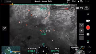
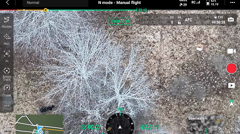
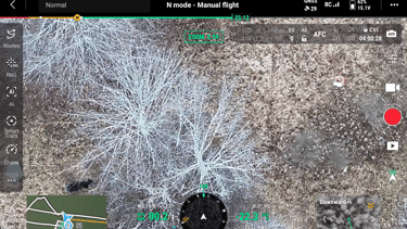
A high-level overview of wildlife activity using advanced aerial thermal imaging. We help landowners understand game movement, population density, property management solutions and more without disturbing or setting foot in the environment.


Game Heard Assessments
Livestock Analysis
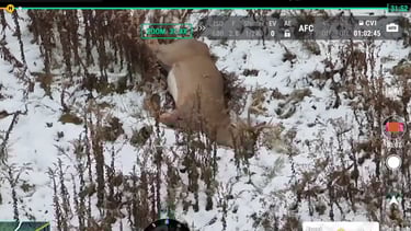
Deer Recovery
We provide fast, ethical drone-based heat detection to locate downed deer after a harvest. Our thermal-equipped drone helps pinpoint deer quickly, even in thick cover or low-light conditions. Don't let your downed harvest go to waste!
A general aerial scan of farm animals to check herd location, health indicators, missing livestock and property conditions. Thermal imaging helps farmers monitor livestock efficiently and safely.
We use thermal drones for...
Upstate WildEye Disclaimer
Upstate WildEye provides drone-based wildlife, property, and livestock services for informational and management purposes only. We do not use our services or data for active hunting or to assist in harming wildlife. All operations are conducted in compliance with federal, state, and local laws, including FAA Part 107 regulations. By using our services or website, you acknowledge that results may vary, and we are not responsible for any unintended consequences or damages arising from the use of our data or recommendations. All content on this site is for general informational purposes and should not be considered legal, medical, or professional advice. Users are responsible for ensuring their own compliance with applicable laws and regulations after our services were preformed.